Showing posts with label trail. Show all posts

Monday, February 2, 2015

A Century Later: Snowy Serenity

My county is creating a recreational trail on the unused rail line running through the middle of my preserve.  Full completion is scheduled for late summer 2015, but significant portions of the trail are in place and in use.

Kali and I have already developed a favorite loop hike that incorporates a section of county trail and the trails in my preserve.  We've walked it quite a few times.

Last Saturday was crystal clear but cold.  I suggested that we walk the loop, but Kali demurred because of the low temperatures.  So, I went out alone with my camera.  After I took the single image above, the camera's battery was fully discharged and I couldn't take any more images.  (Don't you hate when that happens?)
Sunday was warmer by about 15 degrees, but the sky was overcast.  Nevertheless, Kali agreed to walk the loop.  So, I took the same image in a horizontal orientation on Sunday.

This rock cut along the rail line right-of-way is of significance because this cut was the site of a horrific train accident on December 5, 1921.  Two passenger trains traveling in opposite directions collided head-on and the passenger cars caught fire.  Many passengers were injured and 16 were killed.  This accident was the "straw that broke the camel's back" with regard to wooden passenger cars; they were banned soon afterward.

Below are two historic images of the accident in the rock cut, which is now known as Death Gulch. 

Thursday, August 28, 2014

Rail to Trail Reconnoiter

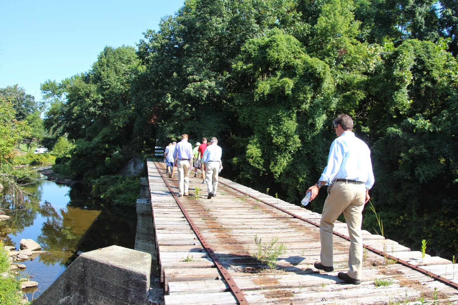
Traversing a trestle spanning my creek at the southern end of my preserve
A suspended railroad right-of-way bisects my preserve, roughly paralleling the creek that also bisects my preserve.  The rail line was built in 1876 with the intention of linking Philadelphia to New York City.  But a second rail line, built two years earlier in 1874, also with the intention of linking Philadelphia to New York City, had the advantage of traversing flatter terrain and allowing for greater speeds.  As a result, the 1874 line (built by the Pennsylvania Railroad) quickly won out, and the line through my preserve (built by the Reading Railroad) was extended northward from Philadelphia only about 30 miles and served local commuters.

The line was carrying passengers until 1984, when the local regional rail authority suspended service because of low ridership.  When service stopped, the rail authority abandoned the right-of-way, which mostly became overgrown with vegetation.  Walkers kept a casual trail open along the right-of-way by wearing a path, but the edges of the rail line became a jungle - which was fine with me.

Then, our county decided that it was going to turn the right-of-way into a trail.  They began by removing the rails and ties along a 2-mile section of the right-of-way that ran through a county park downstream of my preserve.  Now, the county is extending the trail northward through my preserve.  This extension has caused a great deal of consternation among my board members, but the county is moving ahead non-stop, and the trail, whether we like it or not, will be complete by next summer (2015).  We're concerned that mountain bicyclists and dog walkers will ignore the trail use limitations in our preserve and will require considerable patrolling.  On the other hand, the secluded rail corridor had been a site for vandalism, drinking and drug use, so the trial could have some positive impacts, too.

On Wednesday morning, August 27, a group of people from the county, two local municipalities, and our organization walked the length of the new trail route to point out areas where we anticipate there could be problems so that the county could plan accordingly.  I present some images from our walk.
The trail route through the southern end of my preserve
Estimating the width of the final trail
Purple loosestrife (Lythrum slicaria) and rose-mallow (Hibiscus moscheutos) along the trail
Approaching the post office/train station in the historic district at the edge of my preserve
My creek just upstream from the post office
Crossing another trestle over my creek (there are three trestles in my preserve).  House on the right is private.
My creek viewed upstream from the trestle, above
A green tunnel
An historic stone-arch road bridge over my creek, now part of our trail system and off limits to traffic.  This is the second-oldest bridge in our county (1840).