Thursday, July 28, 2016

New Hampshire: Day 5. Chesterfield Gorge and On Home


At the head of Chesterfield Gorge (note man in lower left for scale)
On our way to our friend's/host's house in New Hampshire, we passed a tiny wayside just after we crossed from Vermont into New Hampshire.  A sign said Chesterfield Gorge State Natural Area.  But it was already late, we'd been driving for about five hours, and we had four hours more to drive, so we passed it up.

Before we left our friend's house to head home, though, I'd already decided to check out Chesterfield Gorge as we drove back.  That, and the fact that I had Googled Chesterfield Gorge to find out that it likely was worth a half-hour break. 
Upper middle gorge
The gorge is very scenic but modest in scale - perfect for kids to explore in places but not too dangerous as long as the adults are careful.  The gorge was carved by Partridge Brook, a tributary of the Connecticut River.  The water in the stream was not crystal clear, so I suspected that the watershed was at least partially urbanized, but when I did a little investigating, I found that Partridge Brook is the outlet stream for Spofford Lake, which is ringed with residences.  The lake is probably at least somewhat enriched, and the creek quality reflects that eutrophication.
Lower middle gorge - the most impressive section
There's a path on each side of the gorge, which is about a quarter-mile long in total.  We crossed the wooden footbridge at the head of the gorge, walked down the east side, crossed the footbridge at the bottom of the ravine, and climbed back up the west side.

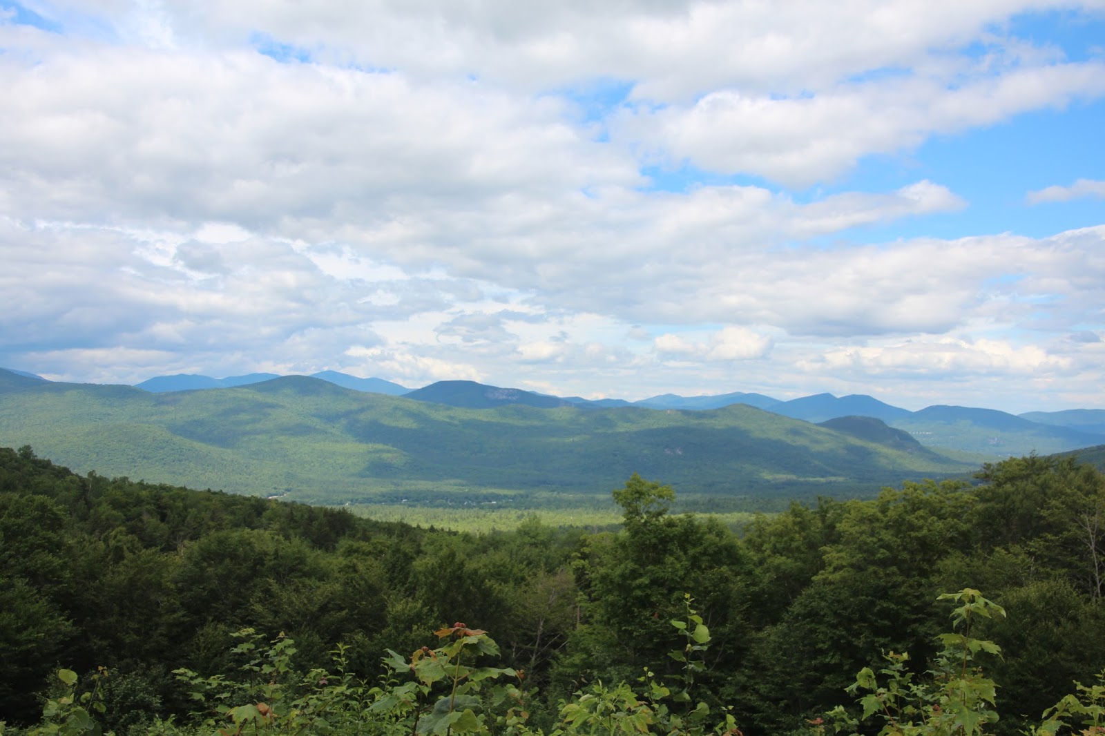
I did notice one really strange (to my eyes, anyway) feature of the natural area:  the deep, dark woods surrounding the upper end of the gorge were completely bereft of understory vegetation - completely bare.  I don't know if the forest was so dense that the meager sunlight that managed to get through the canopy couldn't support shrubs and small trees, whether the deer population is so high that they've eaten all the low vegetation, or if there was some other explanation.  Lower in the gorge, the surrounding uplands did support some understory growth.

Lower gorge and plunge pool
There's a visitor center near the parking lot, probably staffed by volunteers, but Kali wanted to get back on the road so I didn't go inside to investigate further.

One last aspect of our vacation.  Our route back home required that we travel through or near New York City.  My first inclination was to take the Tappan Zee Bridge over the Hudson about 25 miles north of New York, but our friend had cautioned us that the Tappan Zee is being replaced with a new bridge and traffic is usually bad as a result, so I was inclined to bite the bullet and drive through the heart of New York over the George Washington Bridge on I-95.  As we approached the New York metropolitan area, there was a curt, enigmatic electronic sign along the road warning drivers to seek an alternative to the Tappan Zee Bridge - bad construction traffic, I assumed.  I assumed wrongly, as it turned out.  What had happened was that a construction crane on the new bridge had fallen onto the old bridge at noon, completely closing the bridge in both directions.  All traffic had to find alternate routes.  The next bridge north across the Hudson is a long way north, so most drivers decided to come through New York.  Needless to say, traffic was a nightmare.  We inched along for nearly 13 miles before getting to the George Washington Bridge.  Our already long drive back (9 hours without traffic) took us 11 hours.  Another good reason to avoid New York!    

Wednesday, July 27, 2016

New Hampshire: Day 4. Rattlesnake Mountain and Squam Lake

Kali enjoying the view of Squam Lake from Rattlesnake Mountain
On our last full day in New Hampshire, our friend/host Patti had to go back to work so I decided to tackle a relatively easy hike to what promised to be a spectacular site overlooking Squam Lake, the lake where On Golden Pond was filmed.  The weather was forecast to be overcast but warm and humid, so I didn't want to exert too much, and ascending Rattlesnake Mountain was only a 200 foot climb over a distance of about a mile.
Fallen birch in New Hampshire woods
We arrived at the trailhead at 11 a.m. on a Monday morning and found it to be nearly filled with cars - an ominous portend.  We squeezed into a parking spot and then began the hike on the wide, well-traveled trail.
Kali on the Rattlesnake Mountain Trail
Almost immediately, we had to start giving way to large families with many children who were descending the trail.  There were so many people coming down from the top that I commented to Kali that it was as if an entire village of young families was evacuating.  Again, an ominous sign that the summit was going to be swarming with rowdy kids.
Old New England stone wall on the left
Rattlesnake Mountain is a research natural area donated to the University of New Hampshire.  (I wonder if the crowds interfere with research?) The trail system (which includes several trails in addition to the popular main trail to the top of the mountain) is maintained by the local Squam Lakes Association.
Steps and stones
As we approached the summit - anticipating the worst - we were surprised and delighted to find that we were completely and utterly alone.  We spent about 20 minutes at the top enjoying the view of Squam Lake directly below and Lake Winnipesaukee far to the east - and cooling off.  Though the walk was short and relatively easy, the day was really humid and Kali and I were both soaked with sweat. 
Squam Lake
As we headed back to the parking area, we encountered a few people climbing to the summit, but nothing like the hordes who were descending as we hiked to the top.  The parking lot was nearly empty when we returned.

Since it was lunch time, we drove four miles south to the town of Holderness where our friend had told us we could have lunch overlooking the lake at the Basshole Cafe.  Great views of a bustling little recreational harbor and great super-crispy French fries in air conditioned comfort!  After lunch, we headed back to our host's house, stopping at the New Hampshire Guild of Craftsmen's store in Sandwich Center to peruse some excellent craft offerings.  Though we were tempted by a few pieces, we're in our de-accession stage of life and we left empty handed.

Tuesday, July 26, 2016

New Hampshire: Day 3. Castle in the Clouds

 
When Kali and I got to our friend's house in New Hampshire and we began considering options for things to do, our friend Patti said that she wanted to visit Castle in the Clouds.  Now, I have to admit that my immediate reaction was: Castle in the Clouds has got to be a cheesy tourist ripoff.  However, I didn't say a word and instead booted-up my iPad and investigated Castle in the Clouds.

When I learned that the attraction is a Arts-and-Crafts showplace mansion from 1914, I was all-in.  I'm a sucker for Arts-and-Crafts and art deco architecture, so my initial reluctance was replaced by anticipation. 

The mansion is perched midway up the southwest flank of Ossipee Mountain in Moultonborough, New Hampshire.  (More about this at the end of the post.)  Access is via a carriage road that climbs several hundred feet up the mountain winding through thick forest.  Midway to the mansion is a stop at an impressive waterfall along Shannon Brook.
Waterfall on Shannon Brook
Kali and yours truly at the waterfall
Beyond the falls, the carriage road continues to climb to the Carriage House, from which tours depart.  We climbed aboard a trolley that carried us the last few dozen feet up the mountain to the house.
The back garden
Upon arriving at the mansion, we were invited to listen to a 10-minute introduction to the site.  The house was built by Thomas Plant, who at the time of construction owned the largest shoe factory in the world.  He built the mansion (officially named Lucknow by his second wife, Olive) as a retirement home and the couple enjoyed living on the 6,300-acre estate for nearly two decades until unfortunate investments and lavish spending left them in financial difficulty.  Plant mortgaged the estate to a friend during the Depression; the friend allowed the Plants to remain in the house until Thomas died in 1941, whereupon Olive returned to her family home in Illinois.

In 1959, the house was opened to the public as a tourist attraction called Castle in the Clouds.  In  2002, the house was purchased by the nonprofit Lakes Region Conservation Trust.  The estate lands miraculously managed to remain intact and today are owned by a second land trust that invites the public to use 25 miles of trails and old carriage roads free of charge.
Kali and Patti in the back garden enjoying the spectacular view
Lake Winnipesaukee and beyond from the back garden

Window and stonework detail
Though the house's construction employed modern materials like steel beams and hollow tiles, the exterior was veneered with hand-cut local granite and oak timbers.  Interior features were handcrafted by the best artisans of the time and expensive modern conveniences and amenities were installed throughout the house such as telephone intercoms and a central vacuum system.
The curved oak pergola in the side garden
View of the tiled roof in the front of the house and one of the Ossipee Mountain peaks in the background
View of Lake Winnipesaukee through windows with stained glass roundels
Carved wooden griffons (2-feet tall) in the library
The front of Lucknow - less impressive than the back garden but not too shabby
Admission to the house is $16 per person.  We all agreed that the tour was worth every penny.  We also agreed that the name (Castle in the Clouds) sounds silly, but we couldn't come up with better name.  If I saw a sign for Castle in the Clouds and didn't know any better, I would pass it up as a tacky tourist trap.

A final note about Ossipee Mountain.  The "mountain" is actually a ring of low peaks (high point about 2,900 feet) connected by ridges that are the walls of an ancient caldera much like Crater Lake (without the lake).  The center of the volcano erupted and then collapsed back into the magma chamber leaving the ring of today's Ossipee "Mountain."  The inner caldera is pretty remote, inaccessible and wild considering that it is located in New Hampshire.
Kali and me at Lucknow

Monday, July 25, 2016

New Hampshire: Day 2.5: The Boulder

 
On our way back to Wolfeboro from the White Mountains on July 16, our friend Patti suggested that we take a scenic road to avoid heavily trafficked and distinctly un-scenic NH 16.  The route took us through the town of Madison.  As we were cruising down the road, we spotted a sign that said Madison Boulder State Natural Area with an arrow pointing down a gravel road to the west.  Madison Boulder? we all wondered as we sailed past the turnoff and continued driving.  Patti quickly googled Madison Boulder and found that it is a massive glacial erratic in a tiny (17-acre) state park.  So, I turned around at the next opportunity and we headed back to the sign.  What the heck, huh?

The residential gravel Boulder Road ended at small parking lot with two other cars.  No boulder in sight, but there was a large gate and an obvious trail into the woods, so off we went.

The walk to the boulder is up a slight rise.  At the top of the rise, the boulder suddenly came into view off in the distance. 
Kali approaching the Madison Boulder
Holy Cow!  The "boulder" is gigantic!

Kali and Patti at the left of the Madison Boulder
At the information kiosk, we learned that the Madison Boulder is the largest glacial erratic in North America and one of the largest in the world.  It measures 85 feet long, 37 feet wide, and 23 feet tall.  Its weight is estimated at 5,963 tons.

Kali and the boulder photographed from the western end
Most geologists think that the boulder was "plucked" from Whitten Ledge two miles to the northwest during the last continental glaciation.  The original ragged rock was smoothed by glacial action as the glacier slid across the landscape.  A few geologist even contend that the glacier moved the rock  25 miles from the heart of the White Mountains.

We all were mesmerized by the boulder and were so glad that we turned back to investigate.  We agreed that visiting the boulder was one of the highlights of the four days we spent together in New Hampshire.  Are we nerds who need to get a life?  I don't care; it was so cool!

(By the way, the image introducing the post has nothing to do with the Madison Boulder.  I needed an image of a boulder but I didn't want to "give away" the surprise.)

Sunday, July 24, 2016

New Hampshire: Day 2. White Mountains


A view of the northern White Mountains from the Bear Notch Road
On our second day in New Hampshire, a Saturday, our friend/host Patti suggested that we all visit the White Mountains, about 75 minutes north of her home in Wolfeboro.  Patti is a recent migrant to New Hampshire herself and hasn't had a chance to explore much of the state yet, so she wanted to accompany Kali and me.  When we arrived in Conway, we stopped at the national forest ranger station for recommendations on what to do.  The ranger suggested that we drive west on the the Kancamagus Highway,  a scenic road roughly paralleling the Swift River that divides the southern White Mountains, stopping at sites along the way to make short hikes.
Albany Covered Bridge over the Swift River
Our first stop,  six miles west of Conway, was the Albany Covered Bridge.  The bridge was built in the 1800s, then extensively rebuilt in 1970.
Kali (left) and our friend Patti along the Swift River at the Albany Covered Bridge
Swift River upstream of the Albany Covered Bridge
Three miles further west we stopped at Rocky Gorge, a scenic flume that the Swift River has cut into its granite channel.  These rapids have been an attraction since the mid-1800s, when tourists had to risk crossing the river balanced on a plank bridge (there were old photographs on signs showing the intrepid visitors).  Today's visitors cross on a well-made bridge with sturdy railings.
Rocky Gorge flume
Just beyond the north lip of Rocky Gorge lies Falls Pond.  The one-mile Lovequist Loop Trail encircles the beautiful pond.
Falls Pond
At 15 miles west of Conway, we made our final stop for the day at Sabbaday Falls.  Despite the fact that I managed to photograph the falls without people visible, there were visitors swarming all over the stone-and-wood path providing access to the falls.

The origin of the unusual name is unknown, but signs along the trail suggest that it is a contraction of "Sabbath Day," perhaps a favorite location for picnics on summer Sundays.
Sabbaday Falls
Geologically, the falls is interesting.  The falls occur exactly at the site of an earthquake fault.  The main part of the falls cascades across the face of the fault.  Then, at the bottom of the falls, the brook makes an immediate and dramatic 90-degree turn and follows the fault northward toward the stream's mouth at the Swift River.  Here, the brook flows through a picturesque flume (similar to Rocky Gorge, but much more modest) that I was unable to photograph well.
Sabbaday Falls detail
After we visited Sabbaday Falls, we retraced our route eastward back toward Conway along the Kancamagus Highway, but turned north off the highway along the scenic Bear Notch Road (image at head of this post) to enjoy more of the national forest.  We didn't get to the Presidential Range or to the famous "notches" that lie in the northern part of the forest at least an hour's drive further north.  More to explore on our next visit!

Thursday, July 21, 2016

New Hampshire: Day 1. Cotton Valley Rail-Trail

The old Cotton Valley Station
Kali and I visited with a friend and colleague in central New Hampshire during the second week of July.  Neither of us had ever been to New Hampshire (our fifth-last state to check off our list of "states visited").  We had a good four days.

Our friend had to work on the first day of our visit, so she suggested that she could drive us six miles outside town (Wolfeboro) to an access point for the Cotton Valley Rail-Trail, and we could walk back into town.  Perfect.

Kali on the Cotton Valley Rail-Trail
When Wolfeboro created the rail-trail, the town did not remove the tracks.  In places, the trail runs between the tracks (filled with limestone grit), whereas in most other places, the trail runs alongside the tracks on one side or the other.

A swamp alongside the trail
There's a beaver lodge at the lower right of the image

Bunchberry (an herbaceous perennial dogwood; Cornus canadensis) growing along the right-of-way
The day was bright, sunny, and a bit humid, but the trail was level and the walking easy.

Fernald Station - exactly half way along our walk
Fernald Brook.  There's a beaver dam visible in the center rear of the image.
The second half of the walk, closer to town, was less "wild" than the portion further away.  Development encroached up to the trail edge more frequently, and we could hear cars driving on the state route that parallels the trail.  About two miles outside town, the trail passed by a public beach on Lake Wentworth; lots of folks were taking advantage of the great swimming weather.
Public beach at Lake Wentworth
Lake Wentworth - away from the crowds and private storefront developments
When we got back to town, we treated ourselves to ice cream cones.

Tuesday, July 5, 2016

Chanticleer Redux (2016)


An ornamental variety of redbud (Cercis candaensis)
Kali's brother, Patrick, was in town from San Diego over the Independence Day holiday.  We visited Chanticleer in Wayne, Pennsylvania, a garden we usually tour once a year and about which I have posted in the past.

Patrick and Kali
I took my camera with me, mostly to take pictures of Kali and Patrick, but also in case something caught my eye.  As soon as I took out the camera and started snapping away, Kali asked, "What are you taking pictures of?  We have so many pictures of this place!"

An incredible variety of Echinacea (usually the flowers are dusty purple)
Floating arrangement for the day
Blue hydrangeas and Adirondack chairs
The new Serpentine Walk and Garden
We did not visit Chanticleer last year, the first year after the garden installed a long, long sinuous elevated path called the Serpentine Walk.  The garden is on two levels: an upper level with the mansion and its associated gardens, and a lower level where the water gardens and stream garden are located.  These two "halves" are separated by a steep hill.  Chanticleer invested (heavily) in a long, winding, handicapped-accessible path to link the two halves of the garden.  It's spectacular.

Pink varieties of Queen Anne's-lace (Daucus carota)
Peeling bark on a streamside birch (Betula sp.)
I have yet to come to terms, personally, with the dry garden, perched on a rocky outcrop at the lip of the hill.  Every time I visit, I express my disappointment to Kali about how "sorry" the garden looks.  This year, I was not disappointed; the garden has finally come into its own.  I think that the garden was developing over the years, and I was just impatient.
The dry garden in its summer glory
Kali, in a wistful moment
____

I know that I haven't been posting much lately.  Frankly, Kali and I haven't been doing much that has been worth writing about.  Hopefully, that will change.