Sunday, July 24, 2016

New Hampshire: Day 2. White Mountains


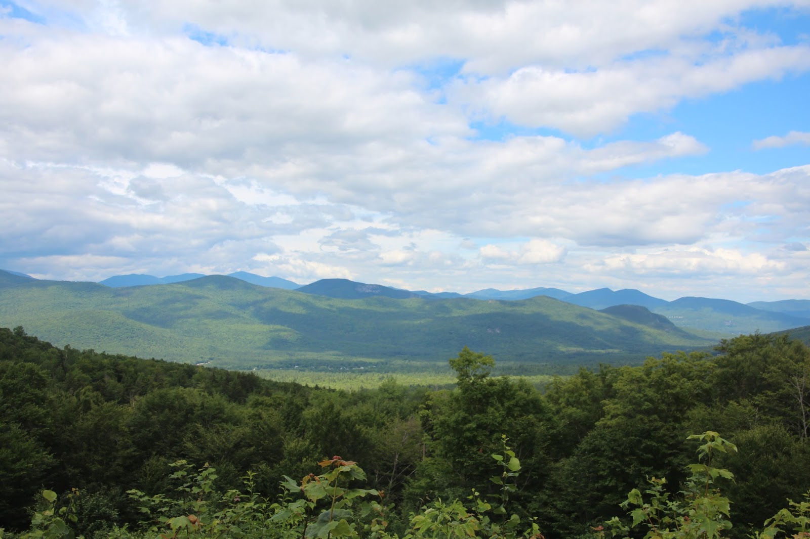
A view of the northern White Mountains from the Bear Notch Road
On our second day in New Hampshire, a Saturday, our friend/host Patti suggested that we all visit the White Mountains, about 75 minutes north of her home in Wolfeboro.  Patti is a recent migrant to New Hampshire herself and hasn't had a chance to explore much of the state yet, so she wanted to accompany Kali and me.  When we arrived in Conway, we stopped at the national forest ranger station for recommendations on what to do.  The ranger suggested that we drive west on the the Kancamagus Highway,  a scenic road roughly paralleling the Swift River that divides the southern White Mountains, stopping at sites along the way to make short hikes.
Albany Covered Bridge over the Swift River
Our first stop,  six miles west of Conway, was the Albany Covered Bridge.  The bridge was built in the 1800s, then extensively rebuilt in 1970.
Kali (left) and our friend Patti along the Swift River at the Albany Covered Bridge
Swift River upstream of the Albany Covered Bridge
Three miles further west we stopped at Rocky Gorge, a scenic flume that the Swift River has cut into its granite channel.  These rapids have been an attraction since the mid-1800s, when tourists had to risk crossing the river balanced on a plank bridge (there were old photographs on signs showing the intrepid visitors).  Today's visitors cross on a well-made bridge with sturdy railings.
Rocky Gorge flume
Just beyond the north lip of Rocky Gorge lies Falls Pond.  The one-mile Lovequist Loop Trail encircles the beautiful pond.
Falls Pond
At 15 miles west of Conway, we made our final stop for the day at Sabbaday Falls.  Despite the fact that I managed to photograph the falls without people visible, there were visitors swarming all over the stone-and-wood path providing access to the falls.

The origin of the unusual name is unknown, but signs along the trail suggest that it is a contraction of "Sabbath Day," perhaps a favorite location for picnics on summer Sundays.
Sabbaday Falls
Geologically, the falls is interesting.  The falls occur exactly at the site of an earthquake fault.  The main part of the falls cascades across the face of the fault.  Then, at the bottom of the falls, the brook makes an immediate and dramatic 90-degree turn and follows the fault northward toward the stream's mouth at the Swift River.  Here, the brook flows through a picturesque flume (similar to Rocky Gorge, but much more modest) that I was unable to photograph well.
Sabbaday Falls detail
After we visited Sabbaday Falls, we retraced our route eastward back toward Conway along the Kancamagus Highway, but turned north off the highway along the scenic Bear Notch Road (image at head of this post) to enjoy more of the national forest.  We didn't get to the Presidential Range or to the famous "notches" that lie in the northern part of the forest at least an hour's drive further north.  More to explore on our next visit!

2 comments:

Anonymous said...

Wow! I only visited New Hampshire once, but I don't remember it being as beautiful as this. Really great photos. I love the waterfall. A wonderful place to explore.

Scott said...

Robin Andrea: It took us 9-1/2 hours to drive to New Hampshire. We were tired and sorta' disgusted when we got there, and we both questioned our decision to use this time as our vacation. But after we'd settled in and begun exploring (and enjoying) the area, we're really glad we went to New Hampshire. By the way, we only have four states on our list of states we haven't visited: Mississippi, Louisiana, Iowa and North Dakota; we ticked New Hampshire off our list with this trip.