
 Along the Notom-Bullfrog Road
Traveling from Boulder, Utah, and driving east, the Burr Trail Road crosses a low point in the Waterpocket Fold (more on that in the next post) and descends down a long series of steep switchbacks on a well-graded dirt road. The Utah guidebooks all made the switchbacks sound treacherous, and maybe they are in inclement weather, but I've driven on far worse flat and straight roads.
At the bottom of the switchbacks, the Burr Trail Road joins the Notom Road coming in from the north and the co-joined roads heads south to the Bullfrog marina on Lake Powell. Instead of heading south to Bullfrog, we turned north toward the ranching settlement of Notom (pronounced NOTE'm) and Capitol Reef National Park.
 The Henry Mountains from the Notom-Bullfrog Road
The Notom Road is graded gravel for about 30 miles. To the west looms the Waterpocket Fold in Capitol Reef National Park; to the east, the still-snowy volcanic Henry Mountains are omnipresent in the distance. The first five or six miles crossed beautifully eroded mudstone and siltstone badlands; in places, the rock was variously shaded purple. Further north, though, the topography near the road became less interesting, but the roadsides featured plenty of wildflowers in spring bloom--my main motivation for driving the Notom Road.


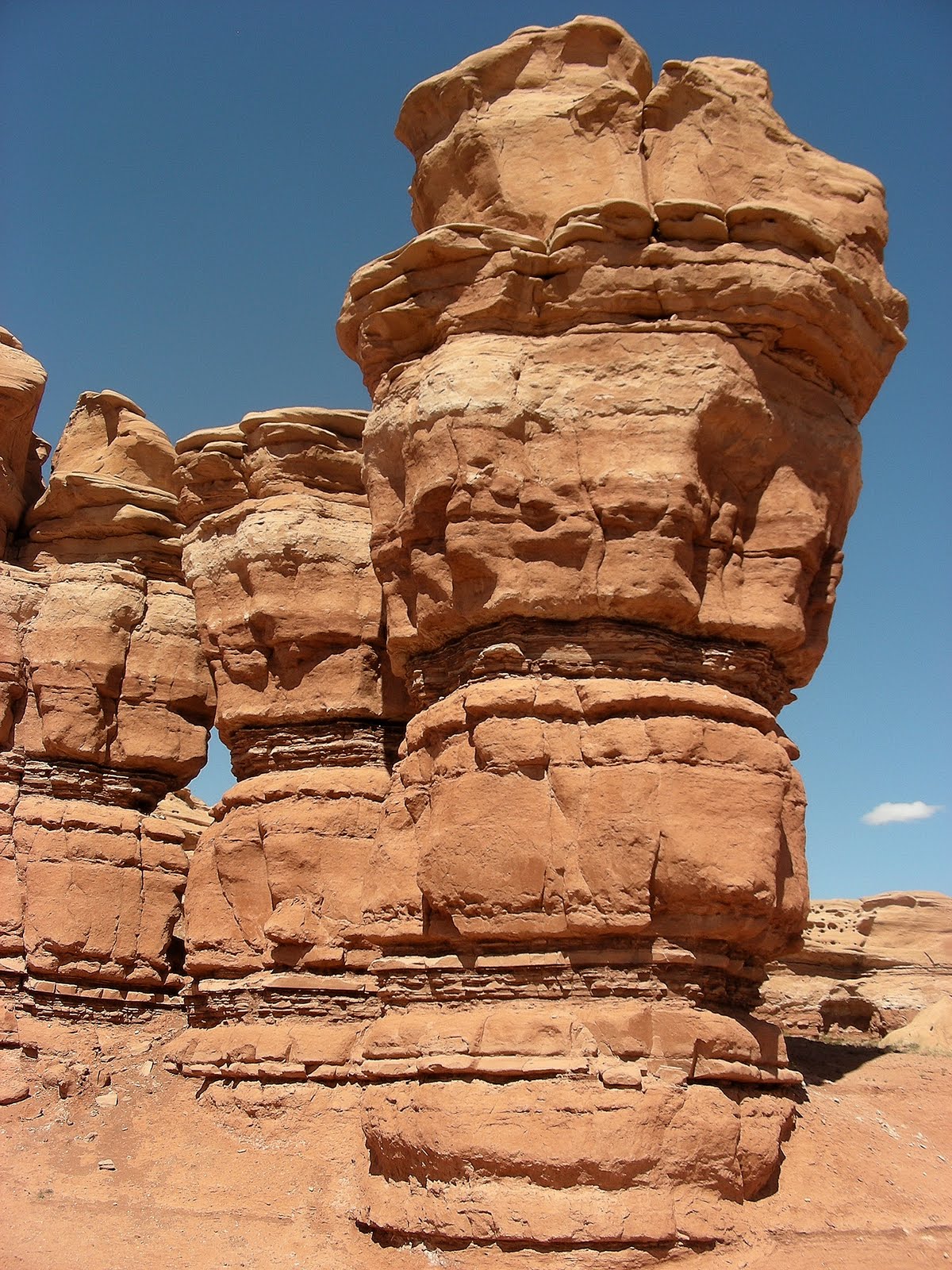
Near Notom, the road approaches a photogenic sandstone butte before it joins Utah 24, the main east-west route through Capitol Reef National Park.


No comments:
Post a Comment