
 The Goosenecks meanders of Sulfur Creek
On the way out of Capitol Reef National Park following our day-trip through Capitol Gorge, I stopped to take some pictures at the Slickrock Divide, a minor watershed divide within the park.
 Descending from the Slickrock Divide summit
  The snowcapped Henry Mountains, a volcanic pile, are in the distance. I'd never heard of the Henrys before this trip, and now I want to explore there, too!
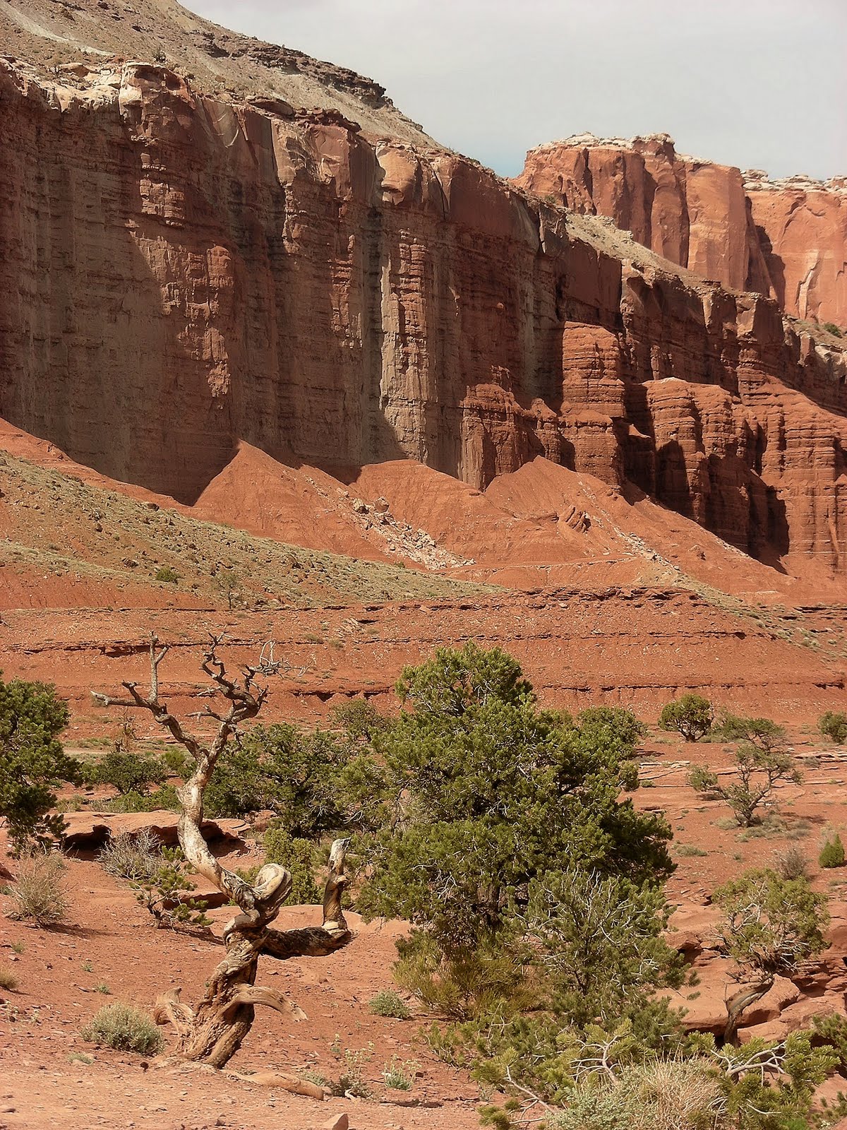
 In the Slickrock Divide section of the park, the chocolate colored, strongly layered Moenkopi Formation has eroded into spires and hoodoos that I just couldn't stop photographing.
 As in most other areas of the park, the wildflowers were blooming profusely here.

 This was one of the two most wondrous plants I saw in the park. I don't know what it is, but the white scaffolding, which was probably last year's growth, seems to protect the new growth underneath.
After the Slickrock Divide, we spent an hour or so at a small turnoff called Panorama Point/Goosenecks Overlook. As Sulfur Creek enters the park from the west, it has cut a deep, meandered canyon into the Waterpocket Fold. Clearly, Sulfur Creek was flowing here as the Waterpocket Fold was uplifted, and it just incised its Goosenecks meanders deeper and deeper as the land rose higher and higher. We also took some photographs at Panorama Point. Doesn't every park have a Panorama Point?
 We also took some photographs at Panorama Point. Doesn't every park have a Panorama Point?


2 comments:
Post a Comment